IMD Issues Orange Alerts as Dust Storm Risk Hits Delhi-NCR and Heavy Rain Moves Into Eastern India
Zero Signal Staff
Published April 30, 2026 at 11:18 AM ET · 91 days ago
Zee News, Skymet Weather, NDTV
India's meteorological agency has issued orange alerts for Bihar, Gangetic West Bengal, Odisha and Jharkhand while forecasting dust storms and thunderstorms for Delhi-NCR, Punjab, Haryana, Chandigarh and Rajasthan through the coming days — a split we
India's meteorological agency has issued orange alerts for Bihar, Gangetic West Bengal, Odisha and Jharkhand while forecasting dust storms and thunderstorms for Delhi-NCR, Punjab, Haryana, Chandigarh and Rajasthan through the coming days — a split weather pattern that marks a sharp break from the intense heatwave that gripped north India earlier in the week.
The Details
Rain and dust storms reached Delhi-NCR on the morning of April 30, according to NDTV, bringing temperatures down from the mid-40s Celsius that had defined much of the preceding days. The activity is expected to persist rather than clear quickly.
Dust storms and thunderstorms with light rain are forecast for parts of Delhi-NCR, Punjab, Haryana, Chandigarh and Rajasthan over the next 24 hours, according to Skymet Weather. The northwest is facing a shorter, sharper episode tied to wind and blowing dust rather than sustained heavy rainfall.
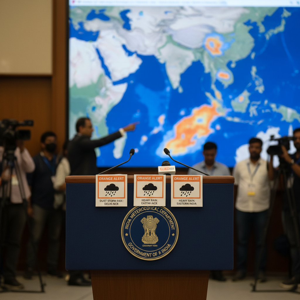
The eastern picture is different and carries a higher precipitation risk. West Bengal, Bihar and Jharkhand are expected to see light to moderate rain and thunderstorms, with some heavy spells and winds reaching 50 to 60 km/h through May 1, Skymet Weather forecast. Those conditions prompted the India Meteorological Department to place Bihar, Gangetic West Bengal, Odisha and Jharkhand under an orange alert — the second-highest tier, signaling that authorities in those states should prepare for significant weather disruption.
IMD scientist Akhil Srivastava told ANI that thunderstorm activity is expected in Punjab and Haryana over the coming days. "Punjab and Haryana may witness thunderstorms with wind speeds of up to 60 km/h, leading to a drop in maximum temperatures by 2-4 degrees Celsius over the next three days," Srivastava said, as reported by NDTV. The wind-speed figures he cited apply to the northern plains as well as to parts of the east.
Zee News, citing IMD-linked forecasts, reported that the broader weather shift spans north, east and parts of south India, describing it as a system of rain, thunderstorms and gusty winds that moved across multiple regions simultaneously on April 30.
Skymet Weather attributes the pattern to a western disturbance sitting over North Pakistan and adjoining Punjab, combined with multiple troughs and cyclonic circulations across north and east India. That combination is driving different conditions in different directions: drier, dustier disruption in the northwest and wetter, heavier activity further east.
Context
The alerts arrive at the end of a sustained heat episode for north India. Delhi-NCR temperatures climbed into the mid-40s Celsius earlier in the week, according to NDTV — a level that triggers heat action plans in several states and raises risks of heat-related illness for outdoor workers and vulnerable populations.
The incoming western disturbance is the meteorological mechanism breaking that heat, according to Skymet Weather. Western disturbances are extratropical storms that originate over the Mediterranean and Caspian regions and track eastward across Pakistan into northern India, typically bringing pre-monsoon rain and thunderstorm events during April and May.
The orange alert designations for eastern states reflect a higher-confidence forecast of significant weather rather than a routine advisory. Orange alerts from IMD generally indicate that authorities in the flagged areas should stay prepared and that disruption to outdoor activities, transport and power infrastructure is plausible if the forecast verifies.
What's Next
The forecast window for the dust storm and thunderstorm activity in Delhi-NCR, Punjab and Haryana runs through the next 24 hours, per Skymet Weather, with Akhil Srivastava of IMD noting that the associated temperature drop of 2-4 degrees Celsius is expected to materialize over a three-day period.
In the east, the heavy rain and strong wind conditions in West Bengal, Bihar and Jharkhand are expected to extend through May 1, according to Skymet Weather. The IMD orange alert for those states and Odisha remains in effect, and residents in affected areas are advised to monitor official guidance from local disaster management authorities.
Never Miss a Signal
Get the latest breaking news and daily briefings from Zero Signal News directly to your inbox.